Black Sea GPS Nautical Charts

Black Sea GPS Nautical Charts

Package:
com.flytomap.marineapp.worldviewer.blacksea
Downloads:
10
Size:
58 MB
Requires Android:
5.0 and up
Updated:
Sep 23, 2020
Latest version:
4.4.3.1
Age:
Everyone
Download

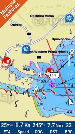
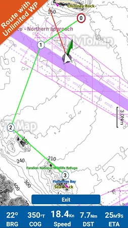
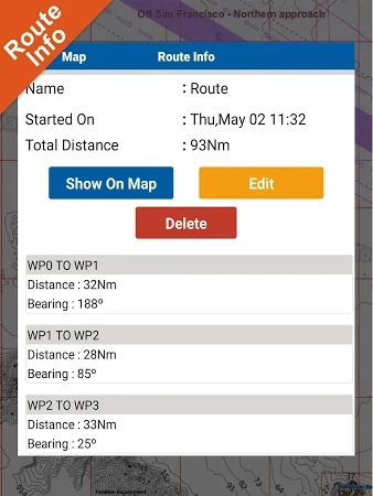
Flytomap is a valid and interesting alternative. Featured on the Deck. Featured on Geomedia. Worldwide Marine and Outdoor Maps available when connected, thanks to viewer. Flytomap. Com. Worldwide Satellite images overlay on charts. Worldwide Terrain features overlay on charts, thanks to Open Street Map, Open Cycle Map, Bing, Earth, GMap, topo maps by ESRI.

FLYTOMAP INC is the official developer of the app that can be found in the Maps & Navigation category. The latest update of the tool was released on Sep 23, 2020 and Black Sea GPS Nautical Charts has been set up by over 10 users. According to the latest info, this application is rated 2.9 on Google Play.

Get the setup package of Black Sea GPS Nautical Charts 4.4.3.1 that is absolutely free of charge and check out users' reviews on Droid Informer. The app can be launched flawlessly on Android 5.0 and above. The download of the app is safe and secure.

Comments

Similar apps

Apps from FLYTOMAP INC