Europe Inland Rivers-Waterways

Europe Inland Rivers-Waterways

Package:
com.skiracer.nautical_astore_ii
Downloads:
100
Size:
25 MB
Requires Android:
4.0 and up
Updated:
Dec 19, 2016
21
Latest version:
102
All versions
Age:
Everyone
Download

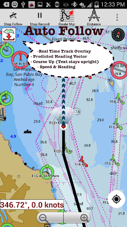
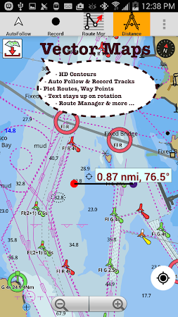
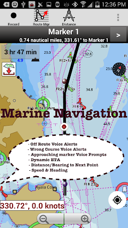
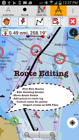
Europe Inland Rivers/Waterways Navigation / Charts App offers access to nautical charts covering major rivers, canals and waterways in Europe - Danube/Donau/Dunaja, Sava, Drava, Rhein, Ruhr, Saar, Sulina, Mosel/Moselle, Elbe, Dijle, Zeekanal etc. All charts include POI data. It supports Marine Charts course up orientation.

This download is totally secure. Gps Nautical Charts is the developer of Europe Inland Rivers-Waterways which can be found in the Maps & Navigation category. The tool was rated 3.8 on Google Play.

Over 100 users downloaded and installed this application and the latest update was on Dec 19, 2016. Get the setup package of Europe Inland Rivers-Waterways 102 that is completely free of charge and take a look at users' reviews on Droid Informer. The app runs flawlessly on Android 4.0 and higher.

Comments

Similar apps

Apps from Gps Nautical Charts