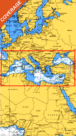
Mediterranean Sea GPS Nautical and Fishing Charts

Mediterranean Sea GPS Nautical and Fishing Charts

Package:
com.flytomap.marineapp.worldviewer.mediterraneansea
Downloads:
500
Size:
45 MB
Requires Android:
5.0 and up
Updated:
Sep 23, 2020
13
Latest version:
4.4.3.1
Age:
Everyone
Download

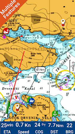
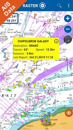
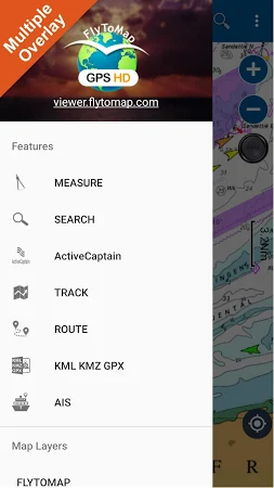
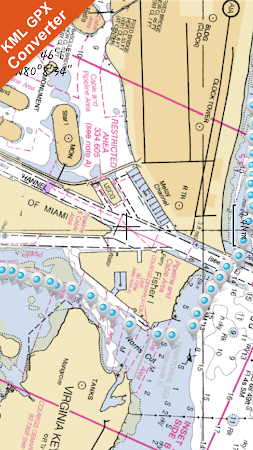
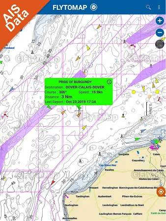
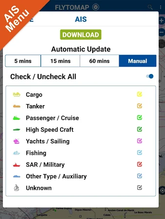
Flytomap is a valid & interesting alternative, Featured on the Deck. Featured on Geomedia. Worldwide Marine and Outdoor Maps available when connected, thanks to viewer. Flytomap. Com. Worldwide Satellite images overlay on charts. Worldwide Terrain features overlay on charts, thanks to Open Street Map, Open Cycle Map, Earth, topo maps by ESRI. Live AIS now available.

Download the installation package of Mediterranean Sea GPS Nautical and Fishing Charts 4.4.3.1 free of charge and check out users' reviews on Droid Informer. The app can be launched on Android devices 5.0 and higher. This download is completely safe. This application is created by FLYTOMAP INC and its category is Maps & Navigation.

The tool has been downloaded and installed by over 0,5K users and its most recent release is dated Sep 23, 2020. The overall rating for Mediterranean Sea GPS Nautical and Fishing Charts is 3.1 on Google Play.

Comments

Similar apps

Apps from FLYTOMAP INC