NOAA Buoys Stations & Ships with GPS Tides & Wind

NOAA Buoys Stations & Ships with GPS Tides & Wind

Package:
com.flytomap.marineapp.worldviewer.noaabuoy
Downloads:
100
Size:
7.3 MB
Requires Android:
4.0.3 and up
Updated:
Oct 1, 2019
2
Latest version:
1.5
Age:
Everyone
Download

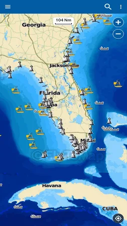
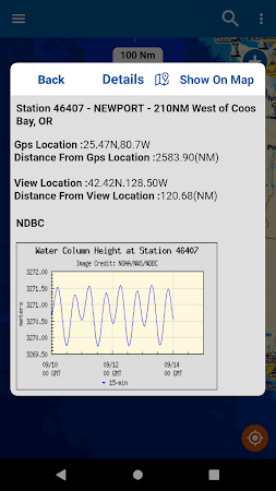
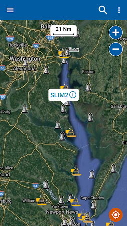
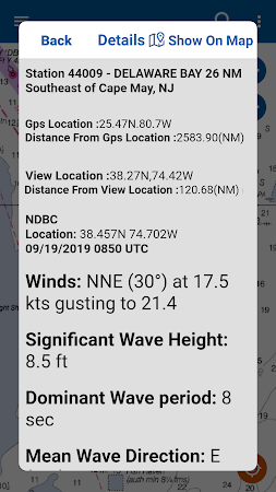
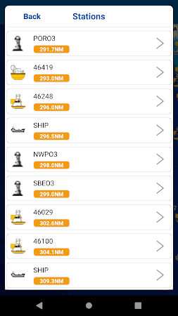
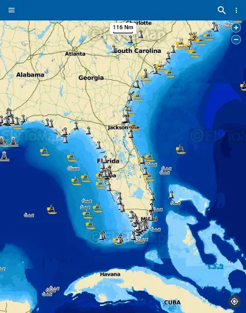
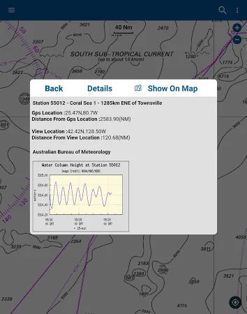
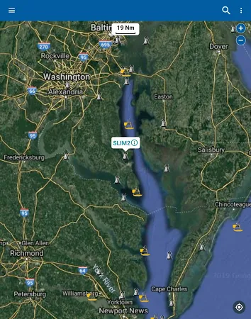
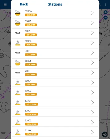
NOAA Buoy data viewer allows you to retrieve info like tides, wave height and period, wind speed and direction, air and water temperature, humidity, dew point, atmospheric pressure, rising and falling indicator, visibility, tsunami and typhoon s on the detailed marine chart thanks to viewer. Flytomap. Com.

It's safe to download the app. FLYTOMAP INC is the developer of NOAA Buoys Stations & Ships with GPS Tides & Wind that belongs to the Maps & Navigation category. Over 100 users set up the tool and its latest update was launched on Oct 1, 2019.

People rated this application 3.3 on Google Play. Get the setup package of NOAA Buoys Stations & Ships with GPS Tides & Wind 1.5 that is absolutely free and read users' reviews on Droid Informer. The app can be launched flawlessly on Android 4.0.3 and higher.

Comments

Similar apps

Apps from FLYTOMAP INC