Santorini topoguide

Santorini topoguide

Package:
anadigit.adventures.santorini
Downloads:
50
Size:
14 MB
Requires Android:
4.1 and up
Updated:
Sep 3, 2020
1
Latest version:
3.1
All versions
Age:
Everyone
Download

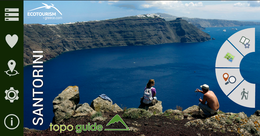
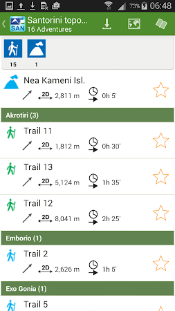
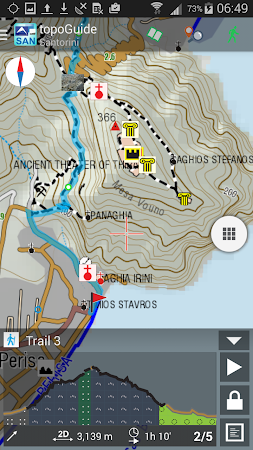
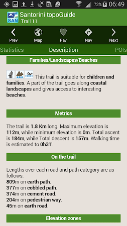
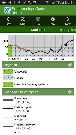
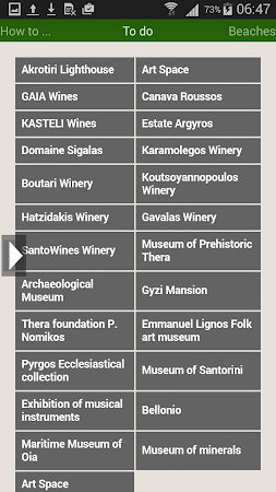
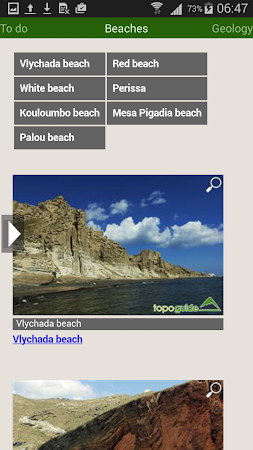
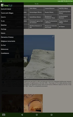
Santorini topoguide is a digital field guide for hiking in Santorini Island. It includes routes, descriptions and photos for 16 hiking trails. Each trail has an elevation profile, a statistic analysis, a detailed description, several photos and a POIs list.

The download of the app is safe and secure. AnaDigit is the developer of Santorini topoguide which can be found in the Maps & Navigation category. Over 50 users set up the tool and the most recent update was released on Sep 3, 2020.

The overall user rating of this application is 4.4. Download the free installation package of Santorini topoguide 3.1 and take a look at users' reviews on Droid Informer. The app runs on Android devices 4.1 and above.

Comments

Similar apps

Apps from AnaDigit