Hiking Map Austria

Hiking Map Austria

Package:
sk.tekel.tmat
Downloads:
Size:
1024 KB
Requires Android:
2.3 and up
Updated:
Feb 25, 2014
107
Latest version:
1.2
All versions
Download

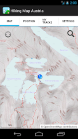
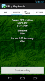
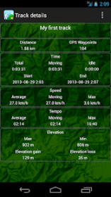
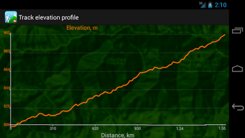
The application contains an offline topographical map of Austria with existing hiking trails, peaks, elevation contours, tourist sites, and so on. The application can record your trek and then show it on the map, calculating the statistics and rendering the elevation profiles. Your recorded trails can be also easily exported to GPX and KML format. The map scale is 1: 35, 000.

The antivirus report indicates that the app is totally safe. Daniel Tekel is the developer of Hiking Map Austria which can be found in the Travel & Local category. Over 10K users installed the tool and the latest update was launched on Feb 25, 2014.

Users rated this application 3 on Google Play. Pay attention to the important detail: advertisements are a part of the app and it offers in-app purchases. It's free to get the .apk file of Hiking Map Austria and you can have a look at users' reviews on Droid Informer. This application installer requires 1 MB of free space to run on Android 2.3 and higher.

Comments

Similar apps

Apps from Daniel Tekel