UK/Ireland Marine Navigation Charts & Fishing Maps

UK/Ireland Marine Navigation Charts & Fishing Maps

Package:
com.skiracer.nautical_astore_uk
Downloads:
1K
Size:
25 MB
Requires Android:
4.0 and up
Updated:
Jun 20, 2016
95
Latest version:
86.0
All versions
Age:
Everyone
Download

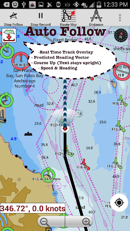
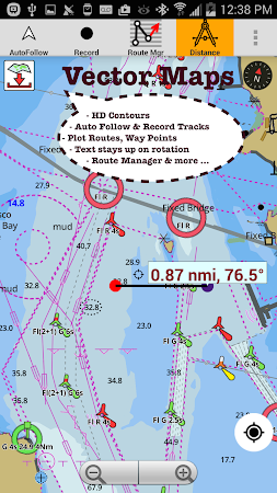
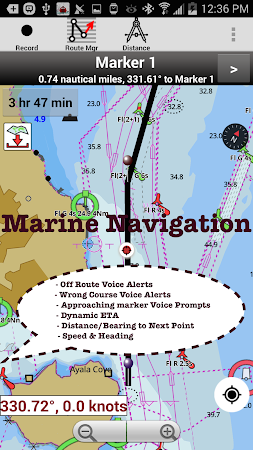
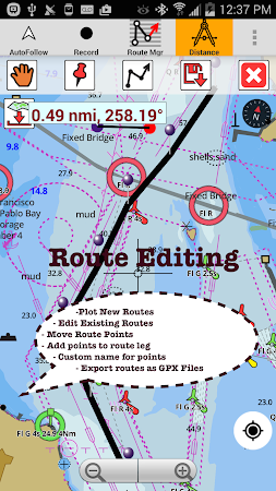
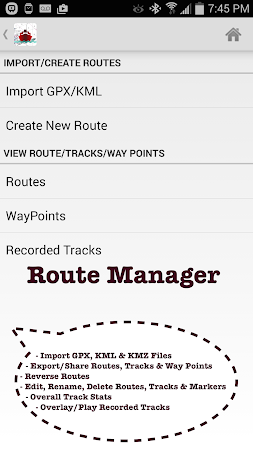
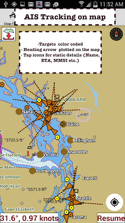
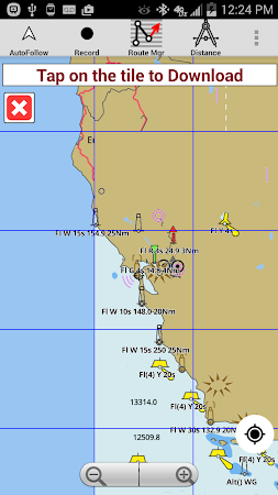
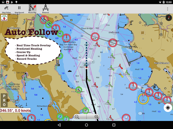
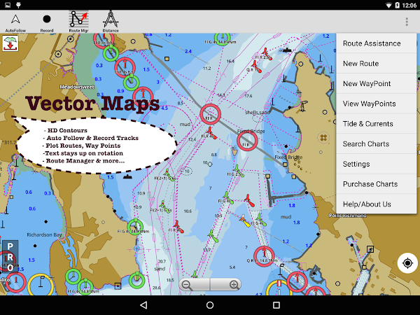
GPS Marine Charts App offers access to RNC charts covering United Kingdom / Ireland waters with POI layers created from ENC charts. Only marine GPS app to have route assistance with Voice Prompts for marine navigation. It has route manager to create new boating routes or import existing GPX/KML routes.

Gps Nautical Charts is the creator of the app that can be found in the Travel & Local category. The latest update of the tool was launched on Jun 20, 2016 and UK/Ireland Marine Navigation Charts & Fishing Maps has been set up by over 1K users. Google Play displays that this application is rated 4.1 by its users.

Download the setup package of UK/Ireland Marine Navigation Charts & Fishing Maps 86.0 that is completely free and check out users' reviews on Droid Informer. The app runs flawlessly on Android 4.0 and above. The download of the app is 100% secure.

Some users mark that you can face a simple user interface among the pluses of this application.

Comments

Similar apps

Apps from Gps Nautical Charts