Hawaii Tides and Satellite Map

Hawaii Tides and Satellite Map

Package:
nestides.noaa.hawaii
Downloads:
100
Size:
2 MB
Requires Android:
2.3 and up
Updated:
May 6, 2015
3
Latest version:
2.0
Age:
Everyone
Download

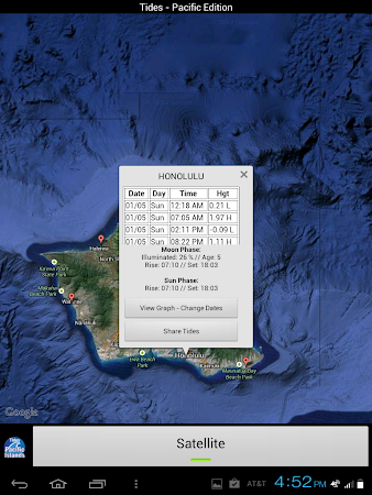
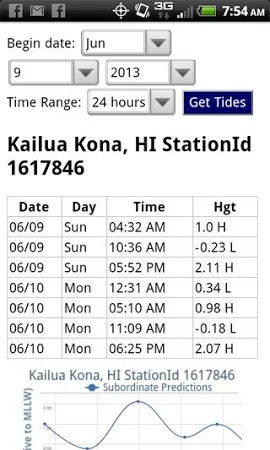
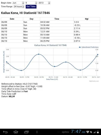
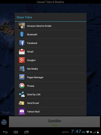
Accurate, simple to use Satellite Map based LIVE NOAA Hawaii tide chart data for the entire Hawaiian coastline on a simple to use satellite map. Simple to use, no spam ads. 100% ad free. East to Use, advanced tide graphs allow for you to judge the level of water movement for optimal surfing, boating or fishing between high and low tide.

Hawaii Tides and Satellite Map is created by NestTides and its category is Weather. The latest release was on May 6, 2015 and the tool was downloaded and set up by over 100 users. Users rated this application 4.2 on Google Play.

Get the installation package of Hawaii Tides and Satellite Map 2.0 that is completely free and check out users' reviews on Droid Informer. The app runs flawlessly on Android 2.3 and higher. It's secure to download the app.

Comments

Similar apps

Apps from NestTides