Package:
anadigit.adventures.parrhasian
Downloads:
100
Size:
14 MB
Requires Android:
4.1 and up
Updated:
Feb 27, 2017
1
Latest version:
2.4
All versions
Age:
Everyone
Free Download

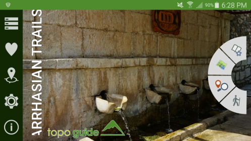
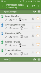
Ancient region of Parrhasia occupied the area corresponding to the lands across the borders of Arcadia and Messinia administrative regions of Peloponnese. Ancient Parrhasia was considered by ancient resources as the cradle of ancient Arcadians.

Similar apps

Apps from AnaDigit

4.0.7
.apk
TopoNavigator Greece topo maps
TopoNavigator Greece topo
186
Turn your smartphone or tablet into a powerful navigation cartographic tool...
1.3
TopoNavigator GPS Info
80
Toponavigator GPSInfo is a useful tool that utilizes all sensors...
5.8
Hymettus topoguide
Hymettus topoguide
17
Mt. Hymettus topoguide is a digital field guide for hikers, bikers and nature lovers.
4.4
Parnassos topoguide
Parnassos topoguide
7
Mt. Parnassos topoguide is a digital field guide for hikers.
3.9
Lycabettus topoguide
6
It is a digital field guide for the most notorious hill of Athens.
2.7
Oeta topoguide
Oeta topoguide
3
It is a digital field guide for hikers and nature lovers for one of the most...
4.1
Chelmos topoguide
Chelmos topoguide
1
Mt. Chelmos is the most interesting mountain of Northern Peloponnese, Greece.
3.1
Santorini topoguide
Santorini topoguide
1
It is a digital field guide for hiking in Santorini Island.
2.7
Kitheronas topoguide
1
Mt. Kitheronas topoguide is a digital field guide for hikers and nature...
2.0
Zagori Mountain Running topoguide
Zagori Mountain Running
22
It is a digital field guide for the 4 races of the 2018 edition: Entry Race...
3.0
Metsovo Ursa Trail
Metsovo Ursa Trail
5
Ursa Trail is one of the most popular mountain races in Greece.
5.3
Parnitha topoguide
Parnitha topoguide
17
Mt. Parnitha topoguide is a digital field guide for hikers, bikers and nature lovers.
1.9
my CHIOS guide
My CHIOS guide
23
It is a digital guide of tourism infrastructure and services of the island Chios...
5.5
Pendeli topoguide
Pendeli topoguide
6
Mt. Pendeli topoguide is a digital field guide for hikers, bikers and off-roaders.
5.0
Menalon Trail topoguide
11
It is a digital field guide for the 70 km-long Menalon Trail mountain route.
2.7
Kalymnos topoguide
Kalymnos topoguide
2
It is a digital field guide for hiking and tourism in Kalymnos Island.
4.2
Kefalonia topoguide
Kefalonia topoguide
1
It is a digital field guide for hiking and touring in the Kefalonia Island.
4.1
Dirfys topoguide
Dirfys topoguide
Mt. Dirfys is the highest and richest part of the mountain range of Central Eubea.

Recent social advice