
 Google Maps now tells you when your bus will arrive
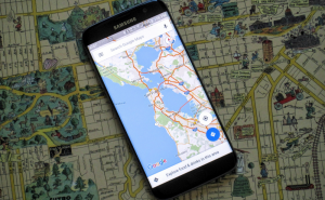
Google is constantly improving its Maps app. The IT giant has just released a new update for the Android version of the application that brings an interesting design change and a useful new feature which gives you more details about the public transportation means that you need to take. The update is already available, so if your phone hasn't automatically updated the app just yet, you can go to Google's Play Store and manually download the latest Maps build.
 Public transit info
As I said, the user interface is now slightly different and you will see three tabs when you swipe up: places, transit and driving:
- Places - will show you curated lists of the best places to eat, shop, etc. at your desired location. Additionally, this section will also show you pictures taken near the place you want to visit and provide a short description of the neighborhood it's in.
- Driving - displays the real-time traffic conditions between your home and your work or other destinations that you've selected.
- Transit - provides you real time updates about the public transportation on your route. Moreover, this tab can offer recommendations about which public transit system you should use, how long until the next bus arrives or how long it will take you to arrive to your destination.
In case you're someone who often relies on Google Maps in your day-to-day life, you may also be interested in reading: "Google Maps problems you can face" or "Meet Google's new self-driving minivan".


Comments