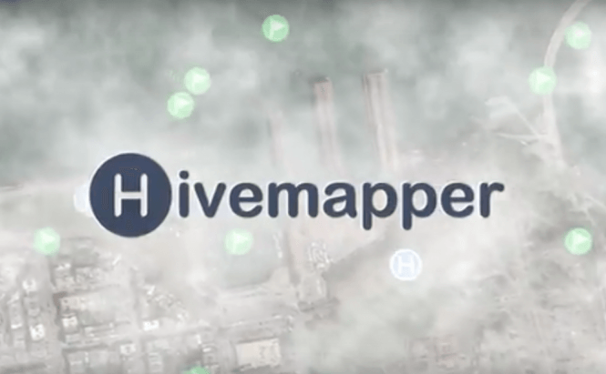
 A helping hand for drone owners: Hivemapper
US citizens who own a drone will be happy to know that there is now a new app to assist them with piloting. No, this application doesn't take away any of the control or the joy of flying your own UAV. Instead, it supplements the images offered by the drone's camera with a bunch of useful data such as no-fly zones, surrounding buildings, waypoints, interesting locations, etc. At the moment, Hivemapper is only available for Android smartphones, but its developers announced that an iOS version of the application will be launched in 2016.
To be honest, I haven't tested the app by myself (as I don't live in the US), but its functionality seems pretty awesome if everything works as designed. Hivemapper embeds a database that contains over 20 million structures. The application combines its database with the information provided by the GPS and drone's camera to tell you exactly what buildings are near and overlay the information on the video feed that you receive from the UAV. Another really big advantage is that the app knows the heights of the buildings, so it will alert you if your drone gets too close to a structure and you risk crashing it. Moreover, there's also a logging feature which allows you to add information to the database or correct inexact data.
Drones have gained a lot of ground as of late and many people are trying to create viable regulations for them. Amazon has already proposed a plan for dedicated drone airspace and the US government intends to make every drone owner register with the authorities. So, an app like Hivemapper which helps the pilots fly their UAVs safely, is a great initiative.







Comments